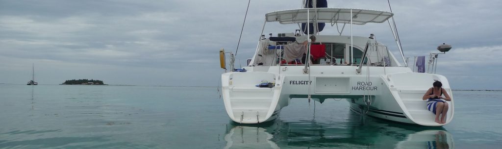
Belize, formerly British Honduras, in Central America, is a small country which also boasts the second longest barrier reef in the world. We sailed along the greater part of the reef during the week of 4-11th February 2012. We had a one-way charter from San Pedro, on Ambergris Cay in the north, to Placencia in the south. Our boat was a 38 foot catamaran, “Felicity”
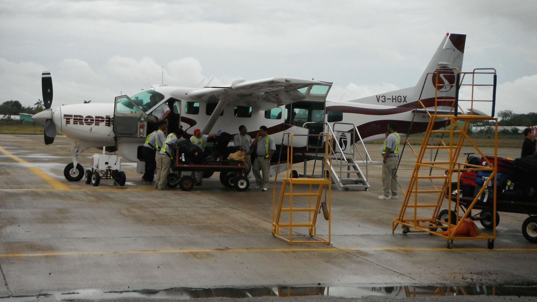
Day 0, Friday. Arrivals. We arrived in Belize International Airport and took an early afternoon flight on Tropic Air to San Pedro. A small plane, flying low, gave us good views over the reef and the Cays, though the weather wasn’t great. We met family and friends at the tiny airstrip in San Pedro. Our hotel was just over the road — a shorter walk from picking up our bags than you often have from one end of the baggage hall to the other…. The hotel was right on the beach, and about 5 minutes from the charter base.
Day 1, Saturday. Enjoyed a beautiful dawn and a leisurely breakfast, then over to the charter base for introduction to the boat and briefing. I’ve never sailed a catamaran before, though I’ve had a look around one. Plenty spacious, and one of the first things I notice is that the cooker is fixed in — no gymbals to keep it vertical when the boat is heeled over at 30 degrees! Another thing that looks good is the dinghy with outboard, permanently inflated, suspended on davits at the back. No more pumping up the dinghy every time you need to use it, or wondering where you can stow it inflated.
We’re advised that we need to keep a good watch for coral. I’d already noticed the warnings on our Admiralty charts – “Many dangerous coral heads” and “Inadequately surveyed areas”.
Our first day is a short afternoon sail to Cay Caulker. There’s a light wind from ENE, so we motor down, quite close to the reef, and anchor in the bay off Cay Caulker town at about 16:20. Cay Caulker is a resort area, like San Pedro, and we have an excellent meal in Habaneros . This will be our last restaurant meal for a while!
Day 2 Sunday. It’s sunny with some thundercaps to the east. We head SW towards Hick’s Cays. The wind has backed to north-westerly F3, so we have a nice sail down past Cay Chapel. We drop the sails to go through Porto-Stuck, the gap between Hick’s Cay and Montejo Cay. The chart shows a tripod on one side of the channel and stakes on the other. Not much sign of the stakes but with the tripod and a bow watch we get through fine.
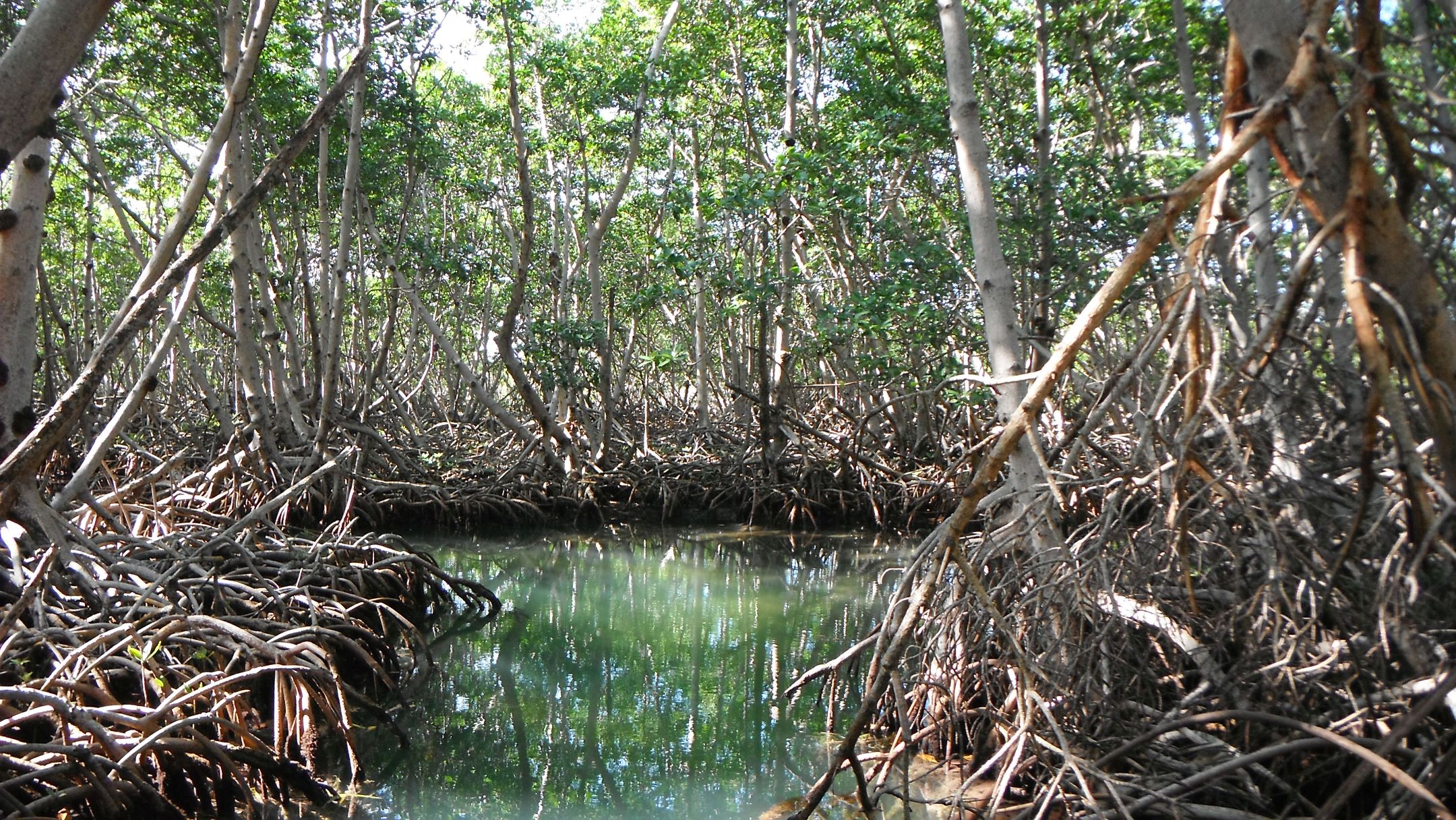
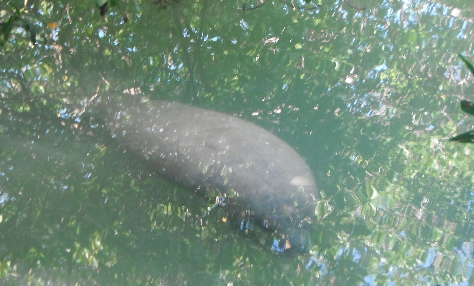
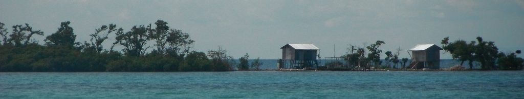
We anchor for lunch in the drowned cays, and in the afternoon we get to see manatees, first time I’ve seen them in the wild. The islands here are low-lying, with Mangrove swamps. Not much to see from a distance, but the mangroves are very striking when you get close.
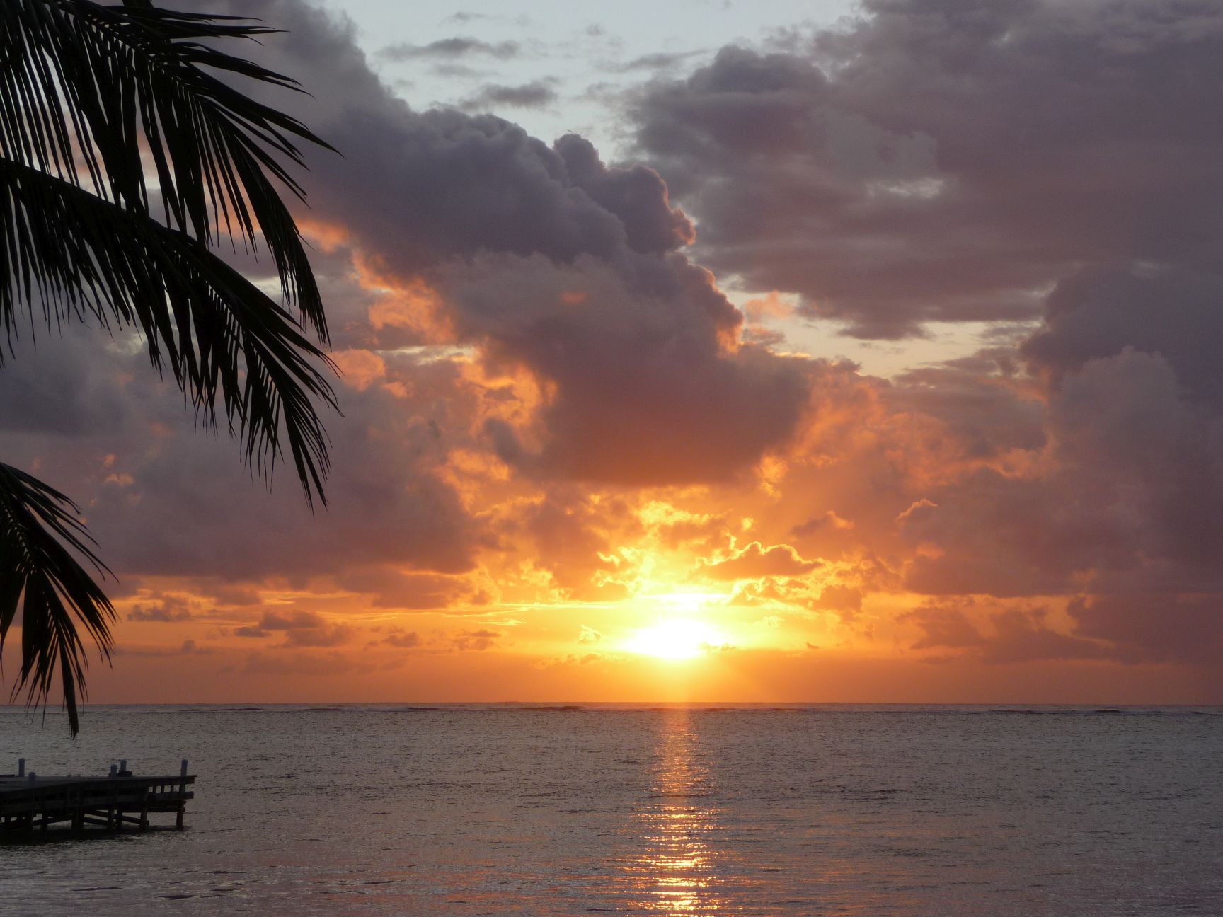
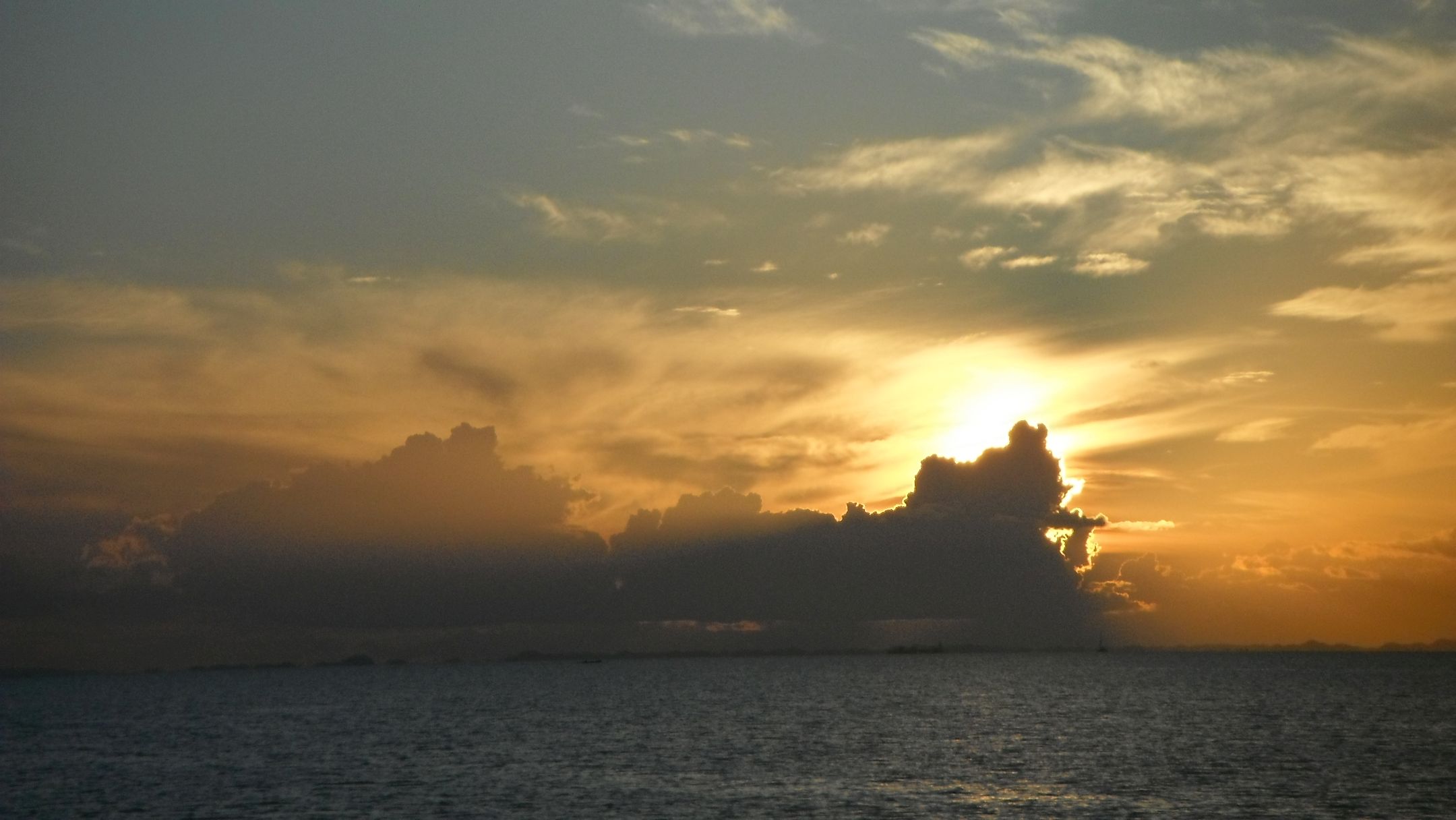
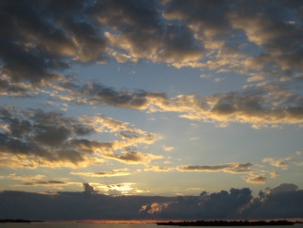
Then, with winds now from the north, we head further down the Drowned Cays, and anchor near Shag Cay Bogue. We see a great sunset towards Belize City.
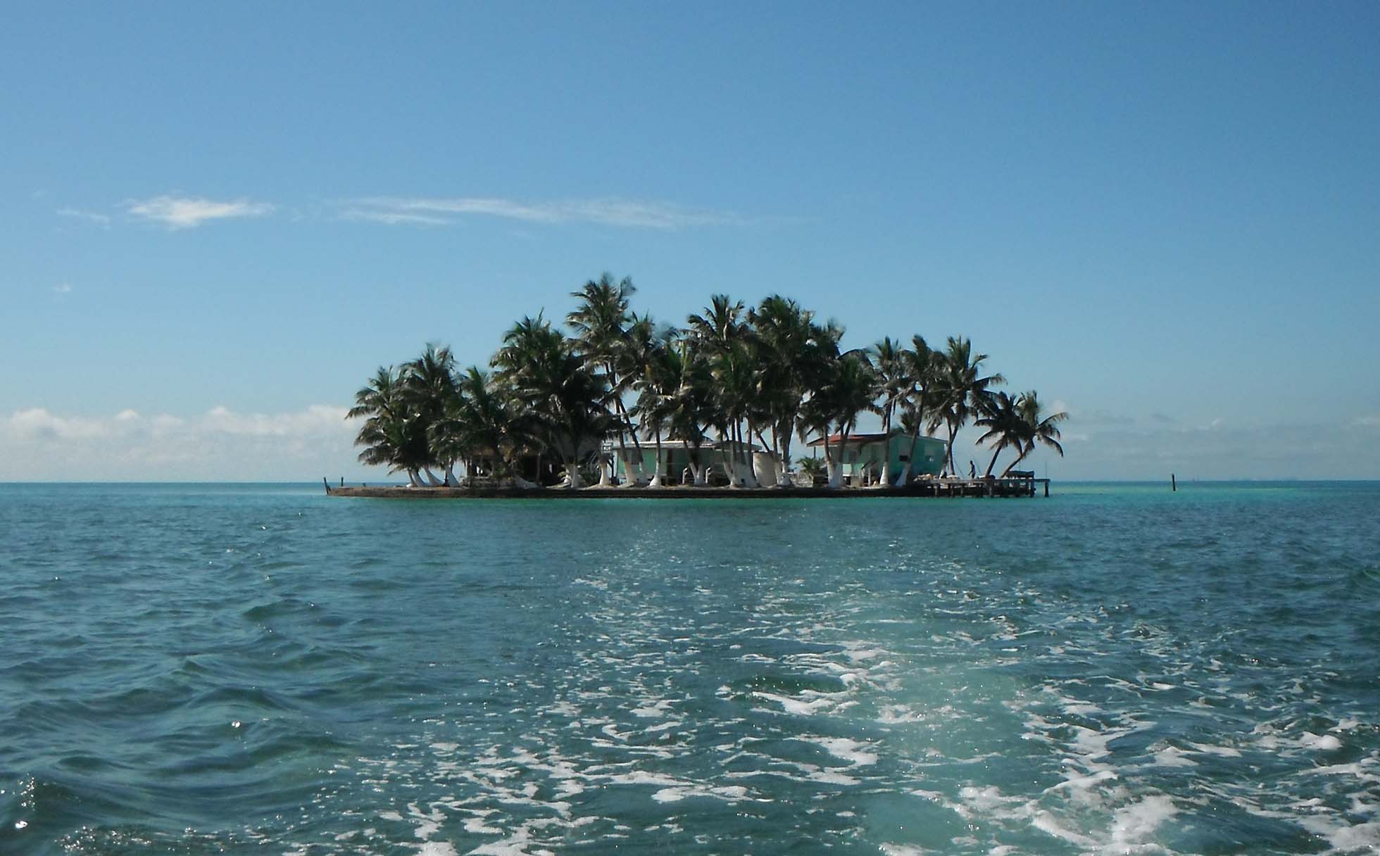
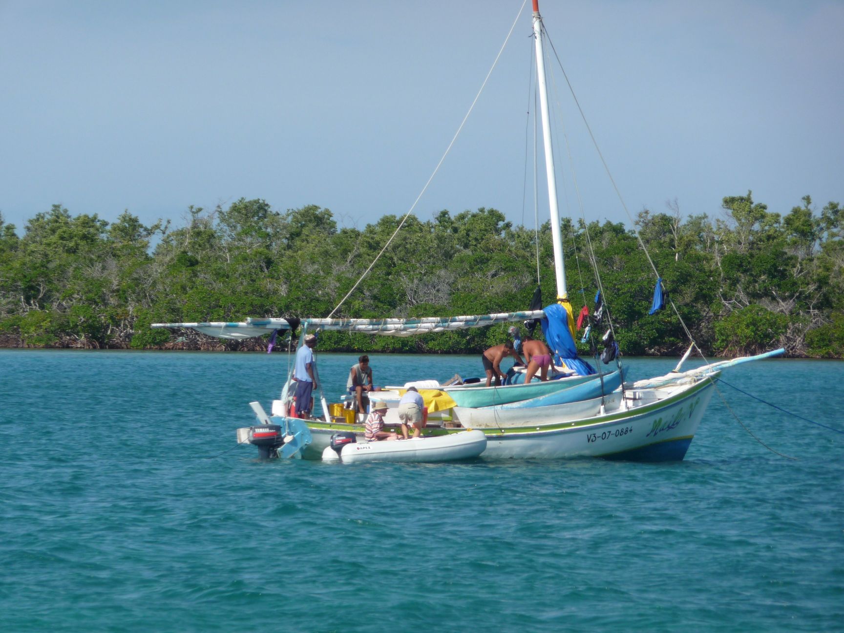
Day 3, Monday. In the morning we go through Farl’s Bogue towards the reef, to check out the Fish camps marked on the chart. Word is that you can buy fresh fish if you can find the right folks at the right time. We set off in the Dinghy and take directions at the small resort on Spanish Lookout Cay, and then head to Forman’s Cay just to the south. This is a more typical tropical island, with palm trees, but no fish – right place, wrong time.
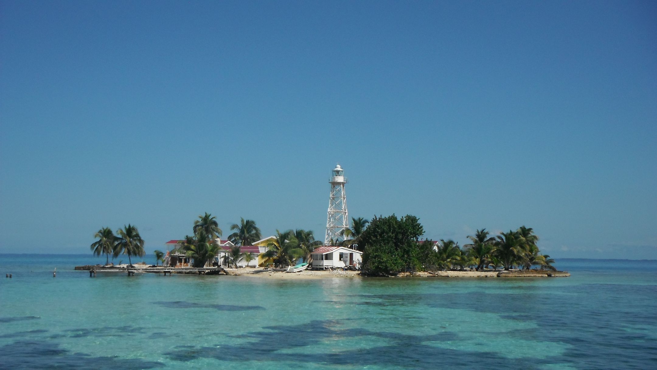
Then back to the boat, and past Water Cay to the channel. The deep-water channel connects Belize City to the open Caribbean through a gap in the reef. Two islands mark the gap, Goff’s Cay to the north and English Cay to the south, with a lighthouse. We anchored on the east side of English Cay for lunch, and to try out our snorkelling gear for the first time.
We then sailed down between Middle Long Cay and the reef, round the south end of the Cay, and anchored next to a sunken barge.
,
a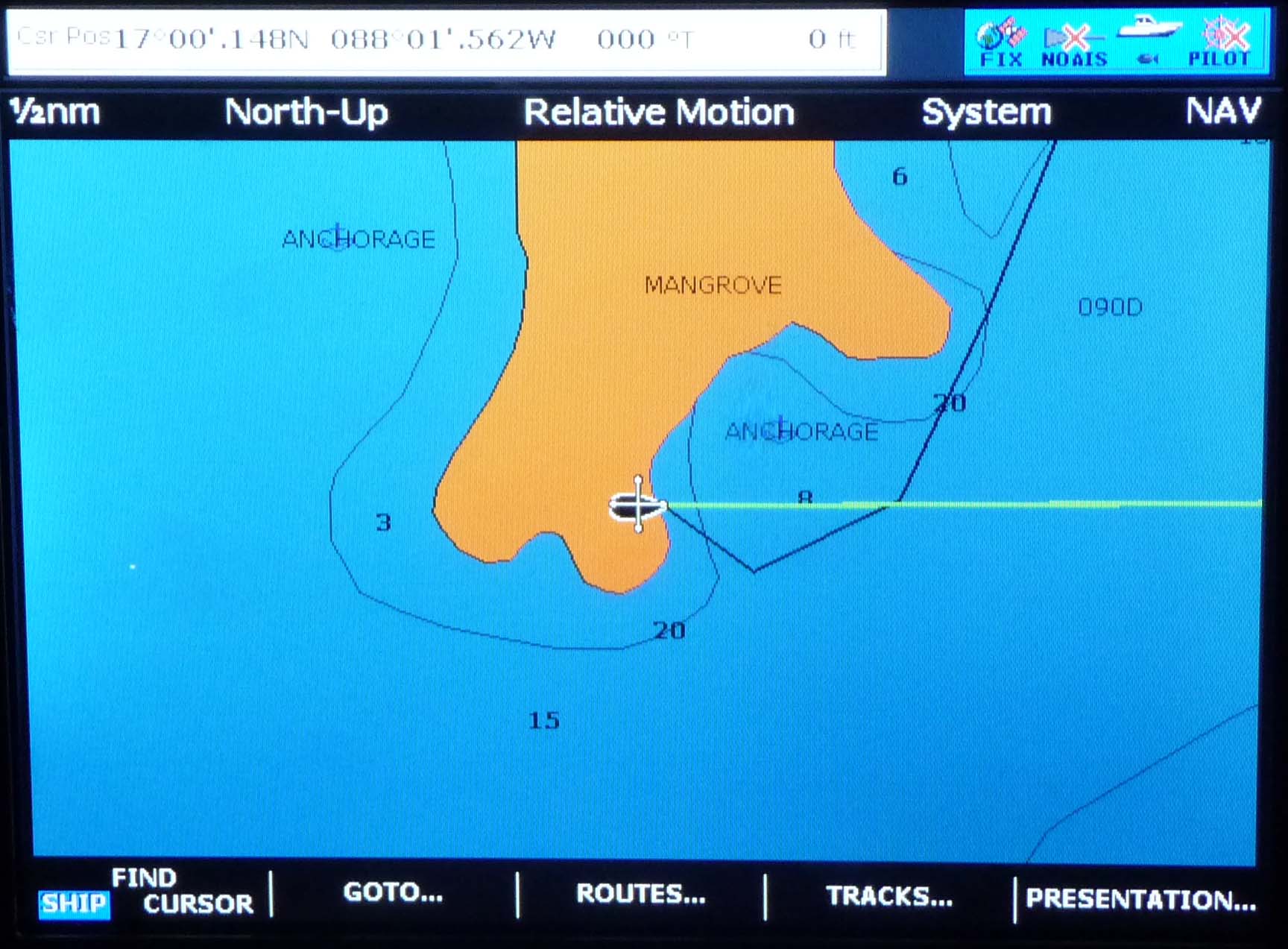
Day 4, Tuesday. The wind shifted round straight out of the west during the night. We weren’t expecting this, and there was enough water between us and the mainland to build up a bit of swell, so we had a disturbed night keeping an anchor watch. However there were no problems with the anchor holding. We headed out to the deeper water west of the cays for a bit, and sailed in a force 3, appreciating the speed of a cat – quite a bit faster than we would have managed in a monuhull in this wind. We then came in through the gap between the Colson Cays, looking for snorkelling. We found fish first, a boat that sold us 10 lb of filleted fish, more than enough for three good meals.
We then headed out towards the reef to check out the snorkelling. Great. Then headed down close to the reef to Columbus Cay, wind had dropped, so we were motoring again. We really needed a bow watch on this bit, there were some exciting moments with coral heads looming up. We saw flying fishes, which seemed to walk on their tails across the water. We anchored in a bay in the SE of Columbus Cay, which looked as though it would give us shelter from anything except a southerly! Barbecued fish for dinner was great, as fresh as it gets.
We had been warned in the briefing about the dubious accuracy of the GPS charts. This was brought home to us by the screen showing our boat happily perched amid the mangrove swamps (no the anchor hadn’t dragged…)
Day 5, Wednesday. A fishing boat was in the bay early on. We headed out past Cross Cay, motoring through the narrows, then sailed towards Tobacco Range. We had a force 4, occasionally 5, from the NW, so almost on a run. We tacked a few times, just to check it out (no need to but couldn’t sail a cat for a week and not tack it!).
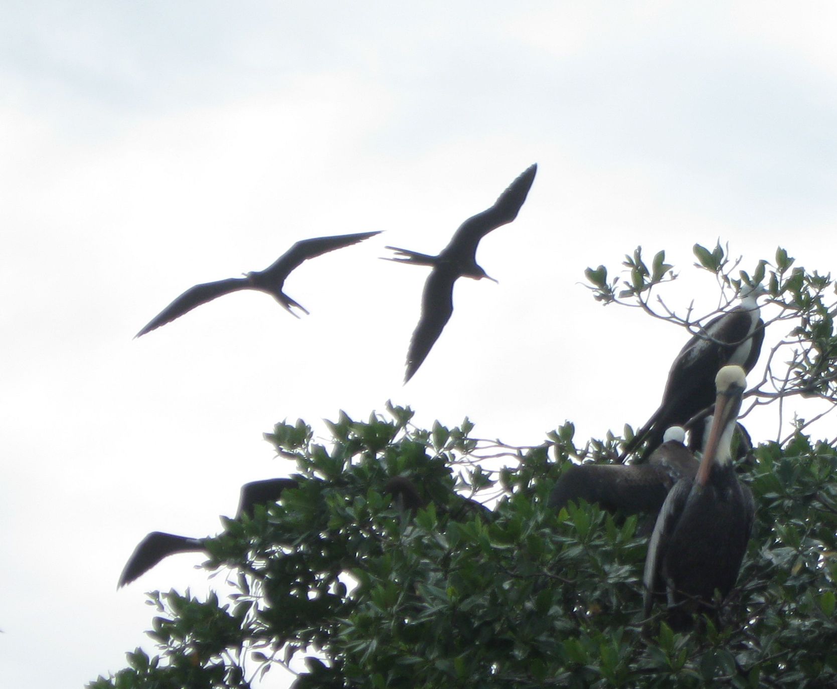
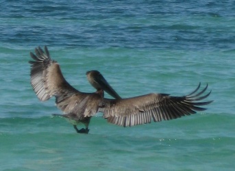
We saw a fishing boat as we passed Tobacco Range. We passed to the south of Tobacco Range, then up to Man O’War Cay, a colony of Frigate Birds. Quite a sight. Then back out to the reef just south of the gap at Tobacco Cay, where we got more great snorkelling. We then anchored in Tobacco Range. This is a proper lagoon, with a lake in the middle, and the anchorage is in an inlet right among the mangroves. Fun, but not much wind, so it got a bit buggy.
Day 6, Thursday. Sailed down to South Water Cay. This is relatively civilised, and has a hotel, a restaurant/bar and some houses. Also a small beach. We took advantage of the bar, and wandered about a bit. It’s pretty small! Then back to the boat, and out into the deep water west of the Cays, motoring again.
A bit more rock-dodging (where we found our out-of-date Admiralty chart much more accurate than the navigation guide that came with the boat) took us to Lagoon Cays, where we anchored. Two other boats were here for the night. This is another proper lagoon island, and we took the dinghy into the lagoon for a look around the mangroves. There’s supposed to be good snorkelling all around the Cay, but we found ourselves getting stung – not really bad, but all the time, which made it pretty unpleasant. Nothing we could see – reading about it afterwards, it sounds as though it was jellyfish larvae. No-one came out in a rash or anything, but we stayed out of this bit of water.
Day 7, Friday. Headed across to Lark Cay. This was a pretty spot, the vegetation a mixture of mangrove and other trees, so a bit more varied than some of the other Cays. It’s not marked as a snorkelling area, but when looking for a place to anchor, we saw that all the shallows were full of coral, with a steep shelf into 50-60 feet of water. So ended up anchoring in deeper water than we would have liked, but it was very sheltered. Not so close to the shore, so no problem with bugs. The snorkelling was good, so a great last day to the trip.
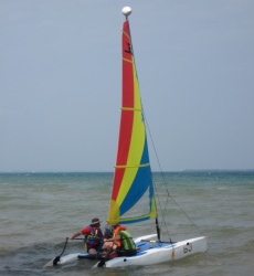
Day 8. Saturday. A short hop across to Placencia. We anchored briefly, then met the charter rep who took us to the dock, and we unloaded our bags and headed off to the hotel. That afternoon some of us got to sail in a little Hobby Cat. Made a change!
Well, this was a very different experience to our previous sailing, which was mostly on the west coast of Scotland! We’ve seen lots of new stuff. More new stuff was to come, because we next headed inland for a different side of Belize. But that’s another story.