Brian Tiplady Blog

Material on this page is licensed under a Creative Commons Attribution-ShareAlike 4.0 International License except as indicated

Internet Archive

Cover of Official Guide to Dirleton Castle, HMSO 1950

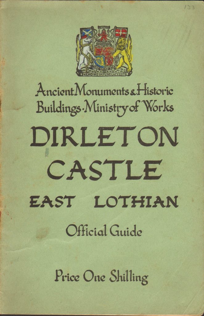
The Internet Archive is an amazing resource. I’ve been adding material to it over the last few years, and have uploaded over a thousand items. Some of it is books I own that are out of copyright, that I scan and upload. I have been particularly interested in works published by the UK Government. These are generally subject to Crown Copyright which expires 50 years after publication, so relatively recent material is in the public domain.

There is also a lot of material already on the web that is not well-indexed, for example whole volumes of academic journals. When I find an interesting article I will extract it from the volume, and upload it to the archive with specific indexin, making it much easier to find.

David Thompson

Sextant of the type used by David Thompson.
Photo: Kahli April / ©Parks Canada.
Used with permission

David Thompson (1750-1857) was a trader, explorer and surveyor of what is now western Canada and the north-western United States, working for the Hudson Bay Company and then the Northwest Company. He travelled some 56,000 miles across North America, and mapped 1.9 million square miles. He was the first European to travel the full length of the Columbia River, and made the first contact of Europeans with a number of native American groups. He has been described as the “greatest practical land geographer that the world has produced”. He was noted for his accurate astronomical observations, using a sextant to determine latitude (from the altitude of sun and stars) and longitude (by the method of lunar distances). He married Charlotte Small, daughter of a Scottish father and a Cree mother. The couple had 13 children, lived in Montreal after Thompson’s retirement, and by the time of his death had been married 57 years, the longest marriage recorded in pre-confederation Canada. Find out more.

Old maps are fun

King’s Cross, London, from a map of about 1830

Old maps are fun. When travelling, I often have an old map of the place so I can see what was there a hundred or two hundred years ago – or often what wasn’t there, like King’s Cross Station in London…

I’ve put quite a few of these maps onto my Android tablet, with location information so that I can use them with GPS. I had a bit of a struggle to find all the information I needed to do this. There are tutorials that cover bits of the process, but not one that takes you though from start to finish. So I wrote one. Here it is.

Android GPS Mapping Tutorial

For links to sites with free mapping resources, check this.

Carrifran Wildwood

Carrifran Wildwood

Carrifran Valley is in the Southern Uplands of Scotland. Two thousand years ago, this valley was forest. We know what kind of trees grew here from the evidence of pollen preserved in the soil. Now the valley is being replanted with the original species, and in due course (longer than my lifetime!) will look much as it did before intensive grazing stripped it bare. One of the things that surprised me was that holly was a major component of the old woodlands.

I have been a supporter of the Wildwood since its foundation. If you would like to join  in supporting this project, contact Carrifran Wildwood

Sailing in Belize

Belize has the second longest barrier reef in the world, and we sailed along the greater part of the it during the week of 4-11th February 2012. We had a one-way charter from San Pedro, on Ambergris Cay in the north, to Placencia in the south, on a 38 foot catamaran. Read more.

Ling Gill Bridge, North Yorkshire

I rubbed this inscription on Ling Gill Bridge in the Yorkshire Dales in 1976. It must have been an important route in 1768 – the bridge is wide enough for two vehicles to pass.
Now it is a farm track, and the Pennine Way. You cross is as you head north from Horton-in-Ribblesdale, just as you emerge onto the open fells of Camm