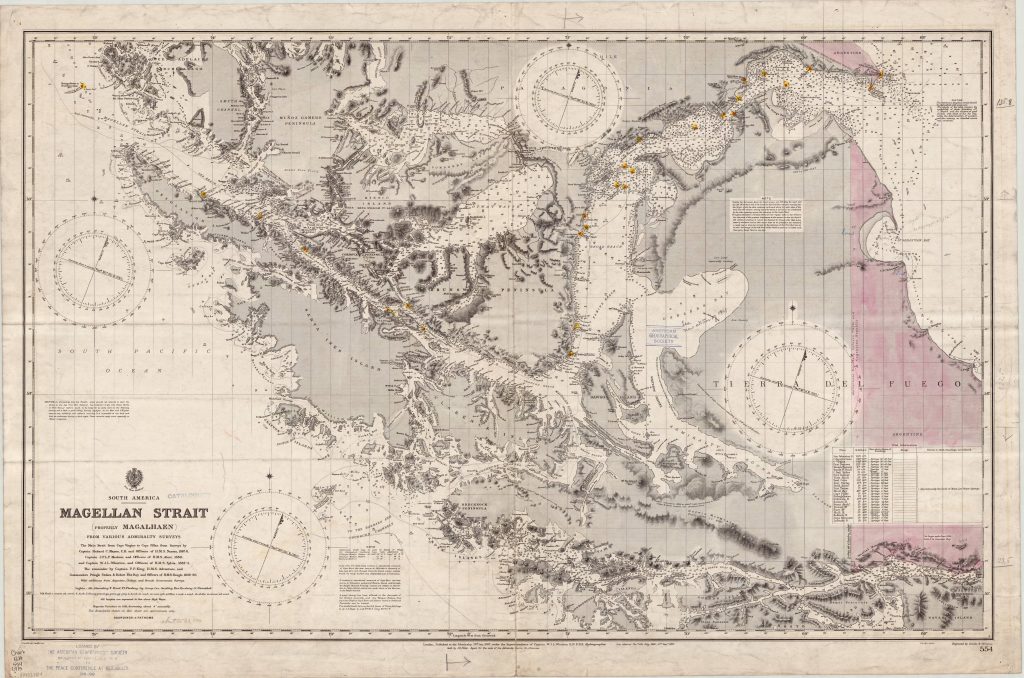
I have a large collection of maps of many parts of the world. As a keen leisure sailor I take a particular interest in nautical charts. The UK Admiralty has published thousands of these since it started selling to the public about 200 years ago. The Admiralty also carried out surveys in many parts of the world. I have written about the surveyors who worked in Scotland in the 19th century in an article for the National Libraray of Scotland here. I have also reviewed a book on the history af Admiralty surveys, which is now in the public domain, The Admiralty Hydrographic Service, 1795-1919, by Archibald Day, Published in 1967.. The review appeared in Cairt, the newsletter of the Scottish maps forum, issue 42 which you can download here.
Tha chart above is from the excellent collection of the American Geographical Society. It’s also available on Wikimedia Commons, which has over 2200 Admiralty charts for download, as well as many other maps.
For links to sites with free mapping resources, check this.